Why Super Typhoons Like Yagi Are More Common Than You’d Think
The year’s first super typhoon erupted over the steamy waters of the western Pacific Ocean on Thursday as Yagi churned toward an eventual landfall in southern China.
Having formed as a tropical cyclone in the Philippine Sea on Sunday, the powerful storm peaked on Thursday afternoon local time with maximum sustained winds of 150 mph, which would be the equivalent of a high-end Category 4 hurricane. At least 13 people have been killed in the Philippines as a result of flooding and landslides.
Forecasters expect the storm to weaken somewhat before striking the Chinese island of Hainan by the end of the week, raking the popular tourist destination with dangerous winds and flooding rains. Yagi is expected to be the strongest storm to hit the region in a decade, with the southern Chinese provinces of Hainan and Guangdong shutting schools, closing bridges, and grounding flights in preparation.
But Super Typhoon Yagi’s ferocity isn’t as uncommon as one would think. The western Pacific Ocean is uniquely capable of supporting some of the strongest storms on Earth.
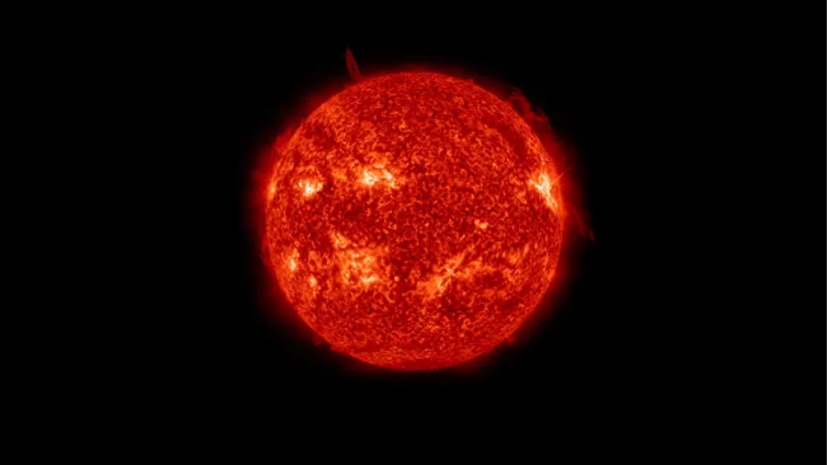
A satellite image of Yagi on September 4, 2024.Courtesy of NOAA
Typhoons are strong tropical cyclones, a catch-all term for low-pressure systems that develop through a special process compared to the “everyday” lows we contend with on a regular basis.
Powerful thunderstorms bubbling around the center of low pressure act like the engine that drives these systems. Warm ocean waters feed those thunderstorms the energy they need to survive and thrive as they swirl through the tropics. These storms can keep going for days or even weeks as long as they maintain access to sultry waters and favorable conditions in the surrounding atmosphere.
All tropical cyclones are the same around the world—the only difference is what we call them. A mature tropical cyclone in the Atlantic is called a hurricane, while the same storm in the western Pacific Ocean is dubbed a typhoon.
If a typhoon’s maximum sustained winds reach at least 150 mph, or the equivalent of a high-end Category 4 hurricane, it earns the distinction of “super typhoon.”
Super typhoons are frighteningly common in the western Pacific Ocean. Meteorologists have recorded hundreds of super typhoons in the region between 1945 and 2022. More than 200 of those storms reached the equivalent strength of a scale-topping Category 5 hurricane.
There were four Category 5 equivalent super typhoons in the western Pacific in 2021 alone. One of those storms, Super Typhoon Rai, killed more than 400 people when it crashed into the northern Philippines not long after reaching its peak strength.
A map of all 202 Category 5-equivalent super typhoons in the western Pacific between 1945 and 2022.Courtesy of NOAA
Compare that bustling activity to what we’ve seen in the Atlantic Ocean, where the same time period saw only 30 storms manage to reach Category 5 intensity at some point during their lifespans.
Not only is the frequency of scale-topping hurricanes in the Atlantic far lower than that seen on the other side of the world, but these high-end Atlantic storms tend to peak for a shorter period of time than their typhoon counterparts.
Why is the western Pacific so fertile to formidable typhoons? It all comes down to the delicate nature of tropical cyclones. These are fragile storms despite their mighty potential. They require the presence of key ingredients before they can develop and take off.
Warm waters are essential—which is of great concern given that Southeast Asia, like much of the world, has seen elevated sea-surface temperatures over the past 12 months. Water temperatures of 85 degrees Fahrenheit (29 Celsius) or warmer can feed a system’s thunderstorms all the energy they need to achieve maximum potential. (Waters around the Philippines are currently averaging over 31 degrees Celsius.) But water temperatures are only one part of the equation.
Ample moisture in the atmosphere is necessary for the thunderstorms to develop. Dry air chokes off thunderstorms and forces a budding system to stumble. A developing tropical cyclone also needs calm winds in the atmosphere around the growing storm. If there’s too much wind shear, the winds will rip the tops off the thunderstorms and force them to fizzle out before they can establish themselves.
Intense storms are a relatively rare occurrence in the Atlantic Ocean because these ingredients are hard to come by on a reliable basis. There are plenty of failure points. Puffs of dry air off Africa’s Sahara Desert have killed many a developing hurricane. Cold fronts sweeping off the United States can make the atmosphere over the Atlantic Ocean downright hostile for any tropical development.
But things are far different in the western Pacific Ocean. Cold fronts, high wind shear, and intrusions of dry air are rarely an issue in the tropical Pacific, where conditions remain steamy year-round in Southeast Asia and island nations like the Philippines. Some of the worst super typhoons in living memory occurred during the “cooler” months, including December 2021’s Rai and Super Typhoon Haiyan in November 2013, which killed more than 6,500 people.
These favorable conditions across the western Pacific can allow dozens of storms to form each season. The sheer number of storms that develop increases the odds that several of them may achieve their full capacity and grow into intense super typhoons that could wreak havoc if they make landfall.